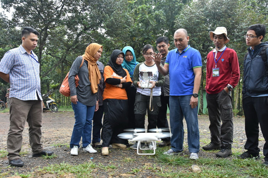
SEAMEO BIOTROP in collaboration with the Ring of Fire Geography Community (Georof), Geomap Services, and Nurul Fikri Disaster Management Centre (NFDMC) held a one-day training course on Drone Utilization for Rapid Disaster Mapping in its Headquarters in Bogor (20/7). This activity was intended to share knowledge on how to use a drone or Unmanned Aerial Vehicle (UAV) for aerial mapping for disaster assessment. A total of 33 participants from various institutions joined this training course.
Dr. Aslan, BIOTROP’s Acting Deputy Director in his opening remarks, said that maps of disaster location and disaster impact distribution are needed to support effective disaster management, especially for the calculation of losses, rehabilitation, and reconstruction. “The availability of historical disaster spatial data is also very important to make susceptibility map and hazard map in order to reduce disaster risks in the future,” he added.
This activity featured five resource persons, namely Armaiki Yusmur from BIOTROP, Fauzan Muzakki from NFDMC, and Agung Adi Putra, Husni Falah and Nurul Azizah from Georof. They delivered materials in class and practical sessions, consisting of an introduction to UAV for mapping and documentation of disaster areas, and how to use a drone.
Asep Gunawan, MPd, one of the participants from SMAN 1 Pedes, Karawang Regency, said, “There was a lot of knowledge provided, especially in the use of a drone for disaster mapping. This skill is significant to prevent more damages caused by the disaster. In addition, I could also teach my students about it directly in the field so that they will understand more”.
 Wednesday, 31 July 2019 on 4:47pm
